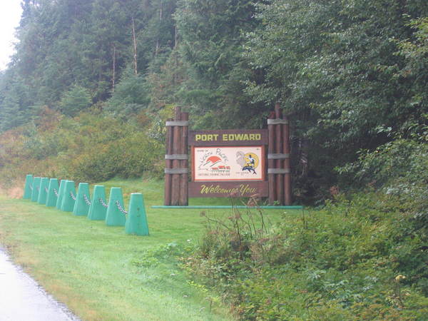
Location: 9 miles south of Prince Rupert and 72 miles west of Terrace. The town site is located on the mainland and bordered by the Skeena River, Inverness Passage and mountains north of Highway 16. Population: 800. Visitor Information: District of Port Edward, Box 1100 Port Edward BC V0V 1G0 Phone: (250) 628-3667; Email: district@portedward.ca

In 1908 the Grand Trunk Railway laid out plans for the Port Edward town site in their expansion to the Northwest coast of British Columbia. Speculators purchased much land in the area and the railway put their plans for Port Edward’s development on hold and progressed the railway to Kaien Island instead.
Port Edward is a multi-cultural community port due to its history, which centers on the fish canneries and processing plants that existed in the area. Approximately 200 canneries operated within the region during the heyday of the fishing industry. Designated a National Historic Site in 1985, the North Pacific Cannery was one of the most prolific, and today is home to the North Pacific Cannery Village Museum. The museum is the chief tourism attraction in Port Edwards, with a bed and breakfast accommodation associated with it. Other tourist accommodations include a full service RV Park, camping at Prudhomme Lake Provincial Park and fishing, boating and swimming opportunities at Dianna Lake and Rainbow Lake Park.


