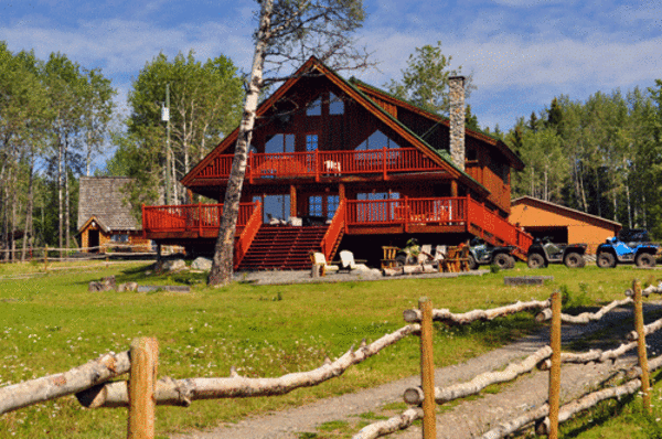
“The Fishing Highway” (Hwy 24) is surrounded by rolling grassland, alpine meadow and open forest comprising South Cariboo “Cowboy Country.” Linked by trails and backroads, the region is very popular for trekking by horseback. Stay at a guest or working ranch, visit with alpaca and buffalo herds, and fish the multitude of lakes alive with rainbow, lake and brook trout, kokanee, char and burbot. Major lakes within the Interlakes District include Bridge Lake, Lac des Roches, Sheridan, Machete, Bonaparte and Canim Lakes. Hwy 24 begins seven miles south of 100 Mile House and runs east over McDonald Summit to Little Fort, a community on the North Thompson River. It is one of three main routes joining Yellowhead Hwy 5 and Hwy 97.
